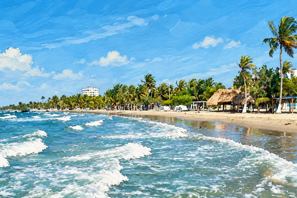
Primera Ensenada
Beaches and services in one of Coveñas’ best-known areas.
Find on map ↗Beaches, mangroves and naval history on the Gulf of Morrosquillo.
Do you run a business in Coveñas? Register it →
Coveñas combines coastal traditions, port activity and naval history. It became a municipality in 2002; its bays and La Caimanera’s mangroves shape its identity.
Beaches and services in one of Coveñas’ best-known areas.
Find on map ↗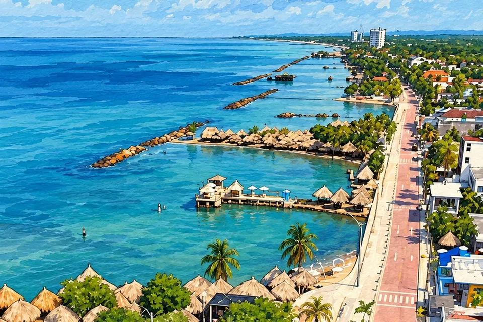
A coastal stretch for beach visits and walks by the sea.
Find on map ↗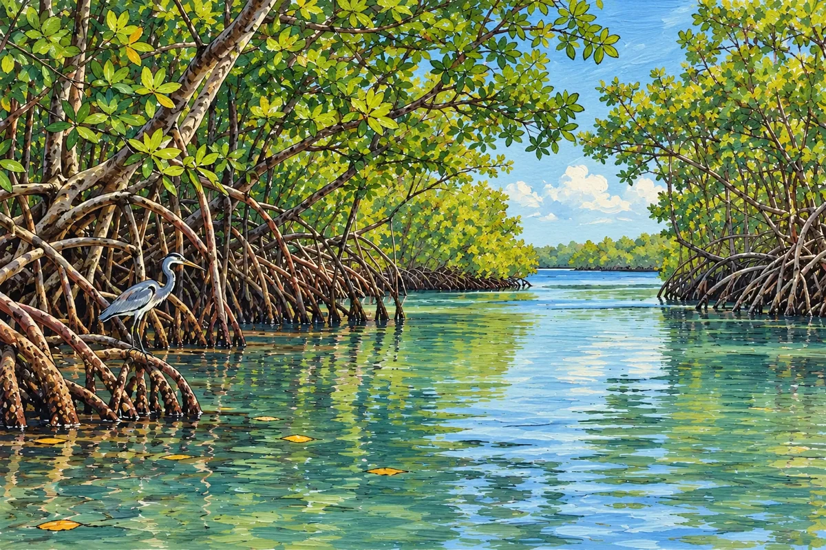
Mangroves and waterways: an ecosystem to explore with a local guide.
Find on map ↗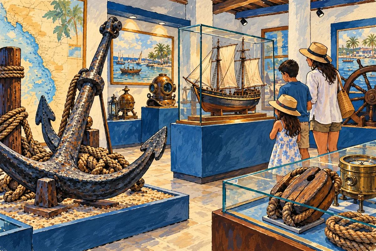
Naval history inside a military site; confirm access before visiting.
Find on map ↗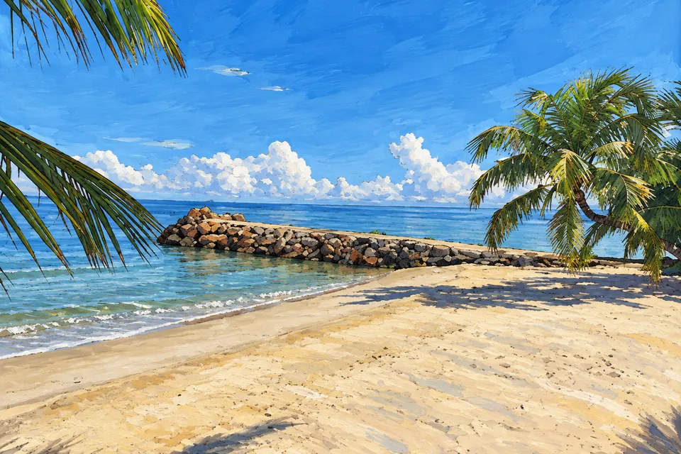
A coastal area listed among the municipality’s beaches.
Find on map ↗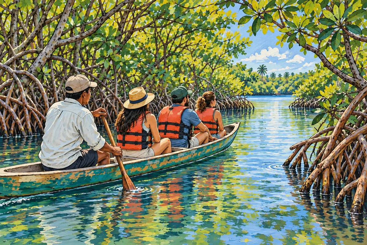
Travel through the waterways and discover the mangrove ecosystem.
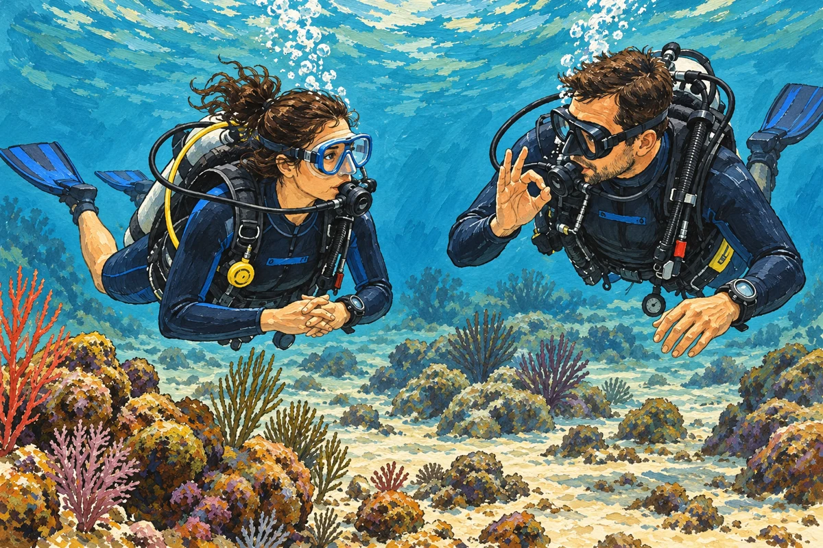
Explore the underwater environment on a guided dive.
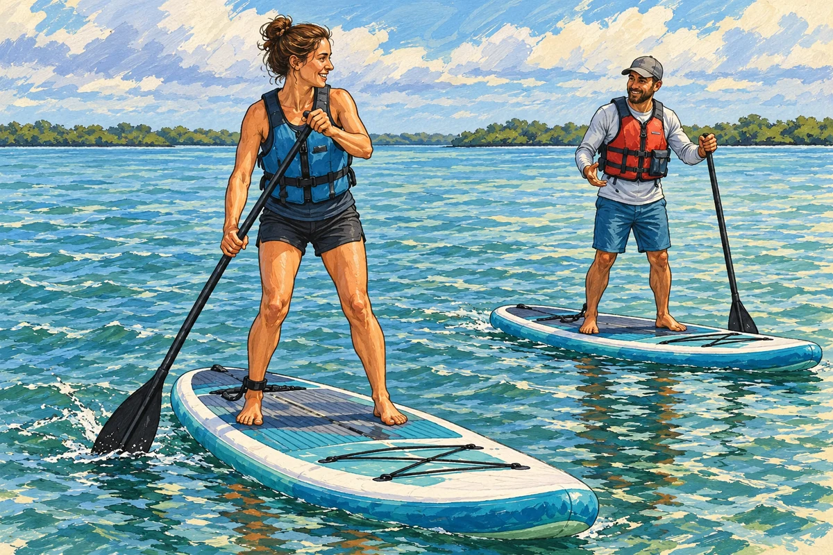
Learn to paddle standing up and explore the coast by board.
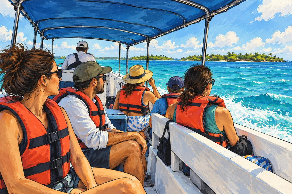
A regional excursion to discover the islands from Coveñas.
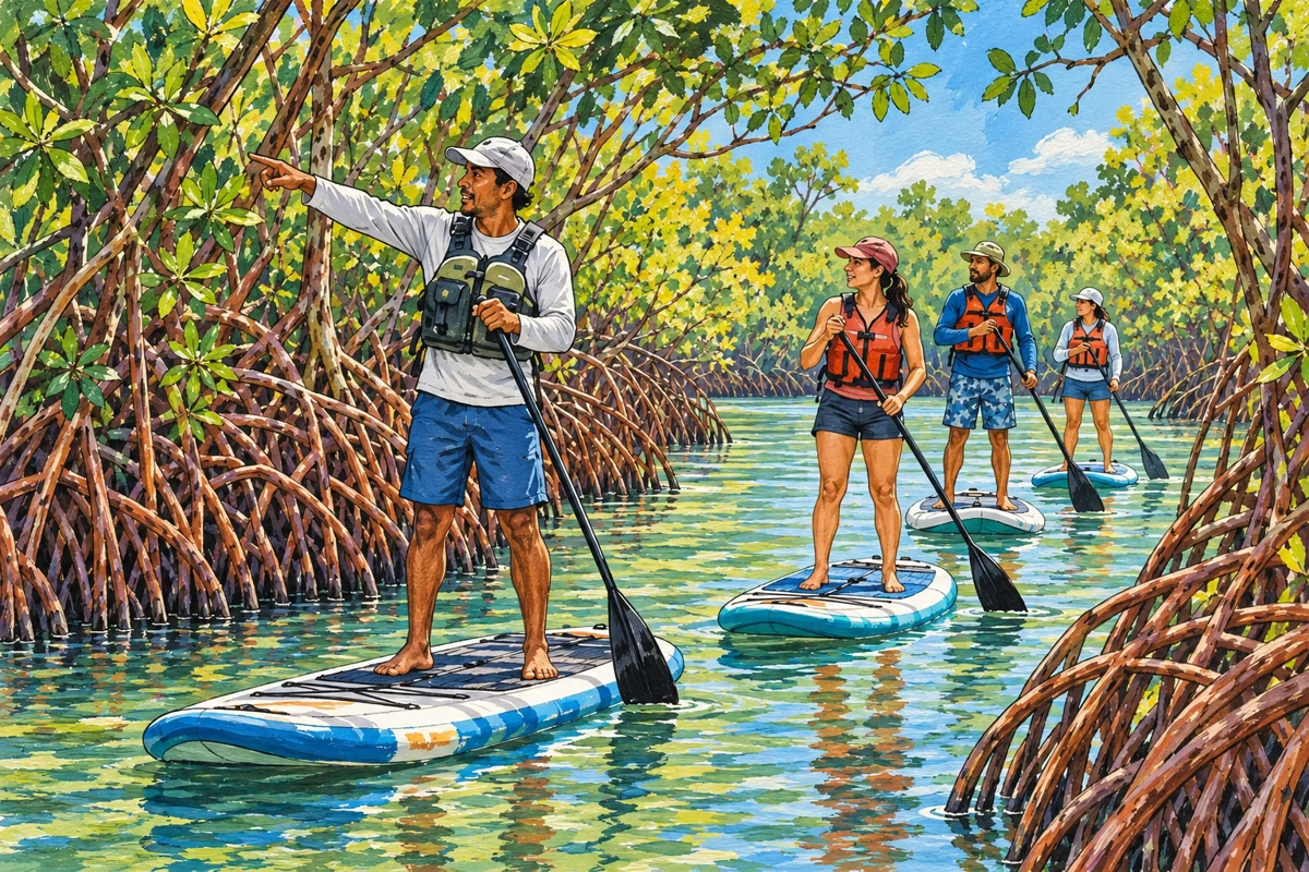
Travel from Coveñas to discover Cispatá’s mangroves in San Antero.
Be part of Explorando Lugares
Don’t miss out.
If you run a hotel, restaurant, bar or shop, offer transport, tours or activities, we would like to hear from you.
Tell us about your business. We will contact you to discuss including it in the portal.
Request information →